
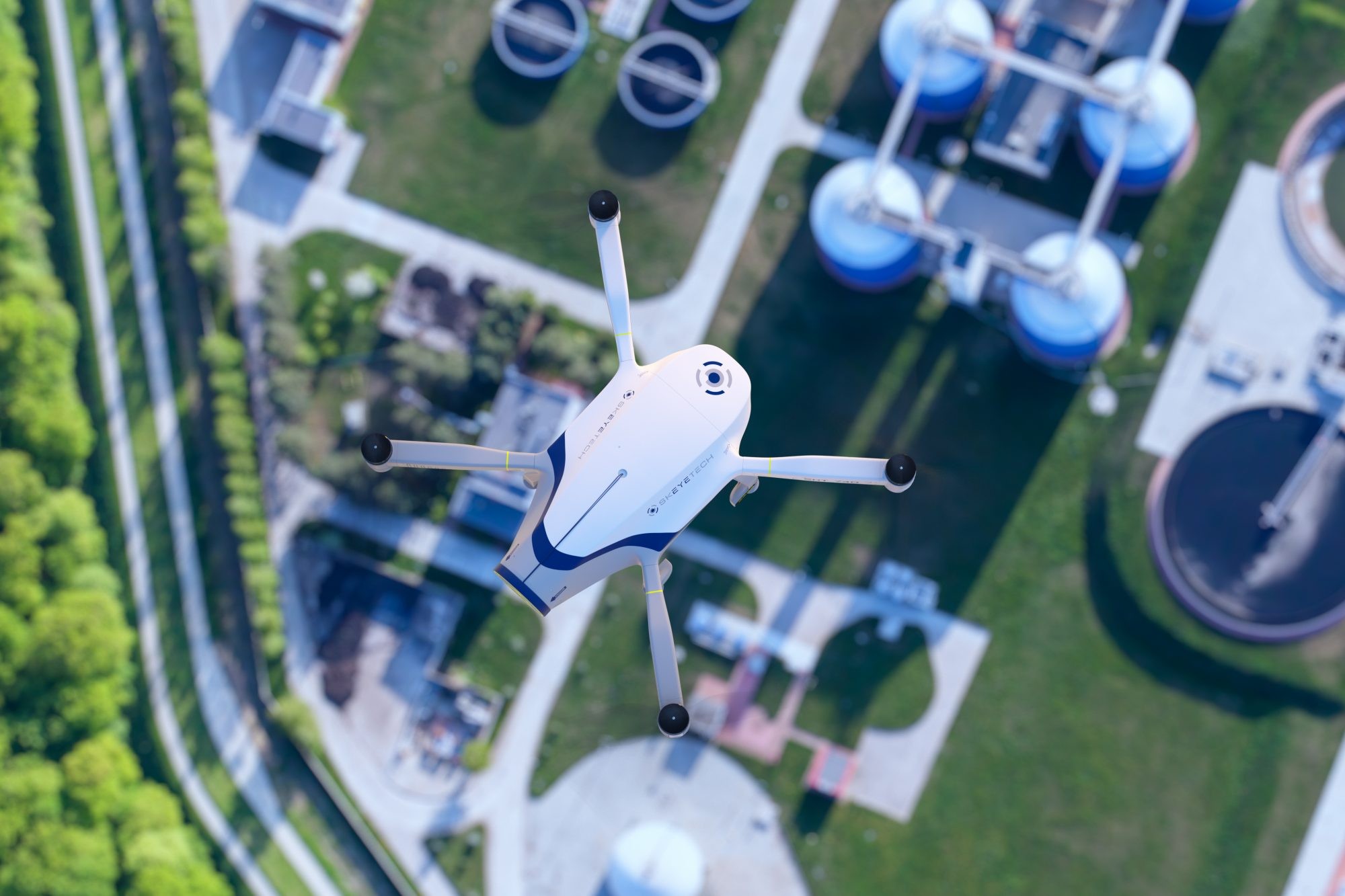
We use unmanned aircraft and Lidar technology to monitor ports, terminals and coastal facilities from above. Aerial coverage reaches the areas fixed cameras miss — long perimeters, breakwaters, anchorages and open yards — without the cost of installing and maintaining equipment across the whole site.
Every flight follows a plan agreed with the facility in advance and is conducted in line with international ISPS practice. Footage is recorded, and each sortie is closed with a written report, so what the flight found can be acted on and filed with the facility's security records.
We begin with a site visit to agree the coverage area, flight paths and the times that suit the facility's operations. Flights are then run to that schedule — routinely, or as a one-off survey — by an operator working alongside the facility's security officer. You receive the recorded material together with the report for each flight.

Training programs according to the latest international protocols